A new data visualization illustrates how an experimental NASA technology can provide extra lead time to communities in the path of a tsunami. Called GUARDIAN (GNSS Upper Atmospheric Real-time Disaster Information and Alert Network), the software detects slight distortions in satellite navigation signals to spot hazards on the move.. The animation breaks down a real-life […]

The bigger the hailstone, the more damage it can cause. But scientists find that predicting hailstone size can be challenging. How quickly does hail melt as it falls?

Ireland is best known for its many greens, but the striking grays of the island’s Burren region also stand out in satellite images.
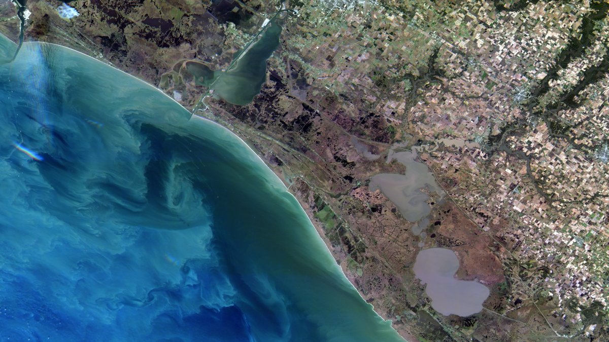
Join us March 25 at 2:00 p.m. EDT to learn more about the data offered by CSDA program vendor Satellogic.
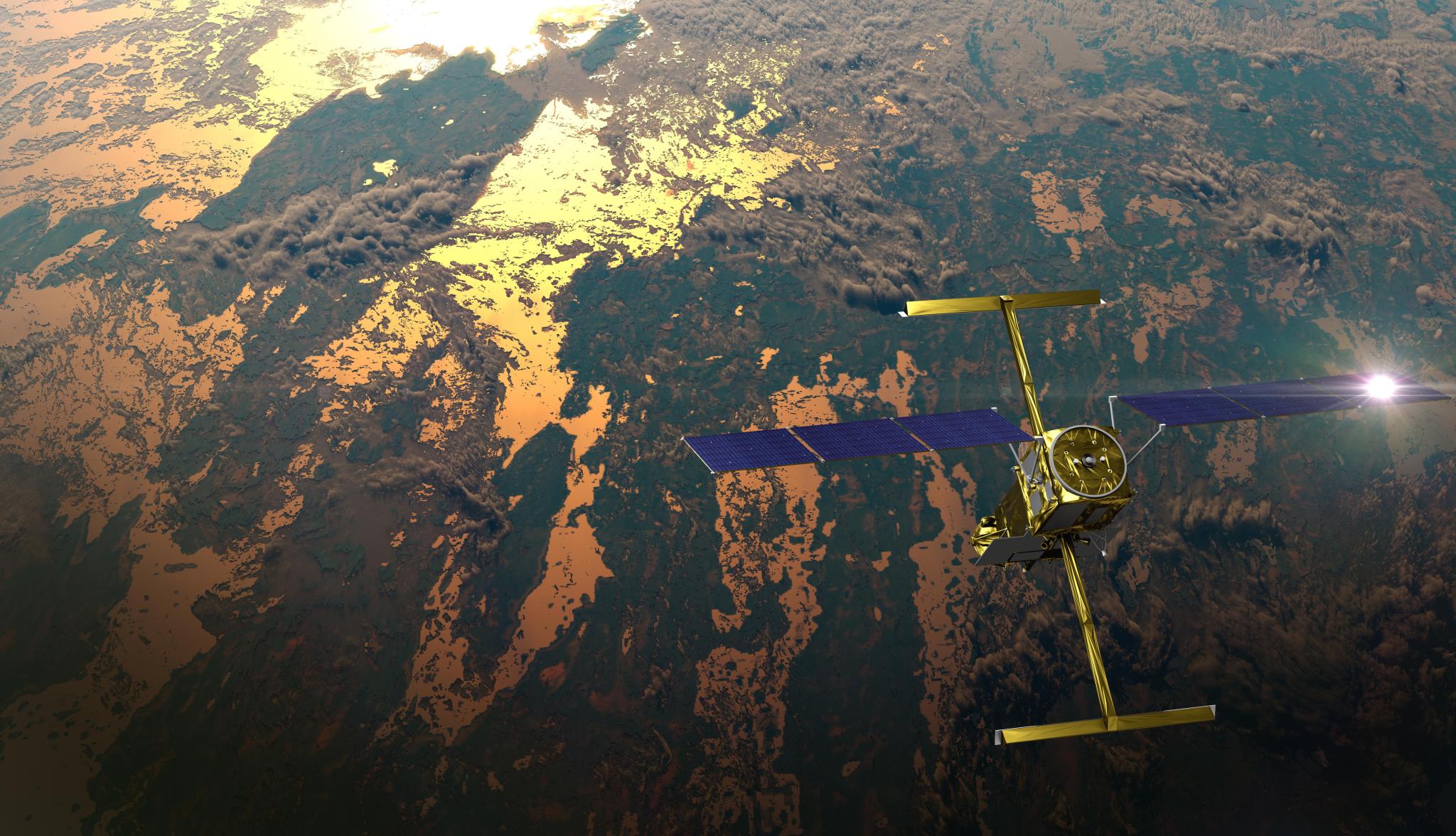
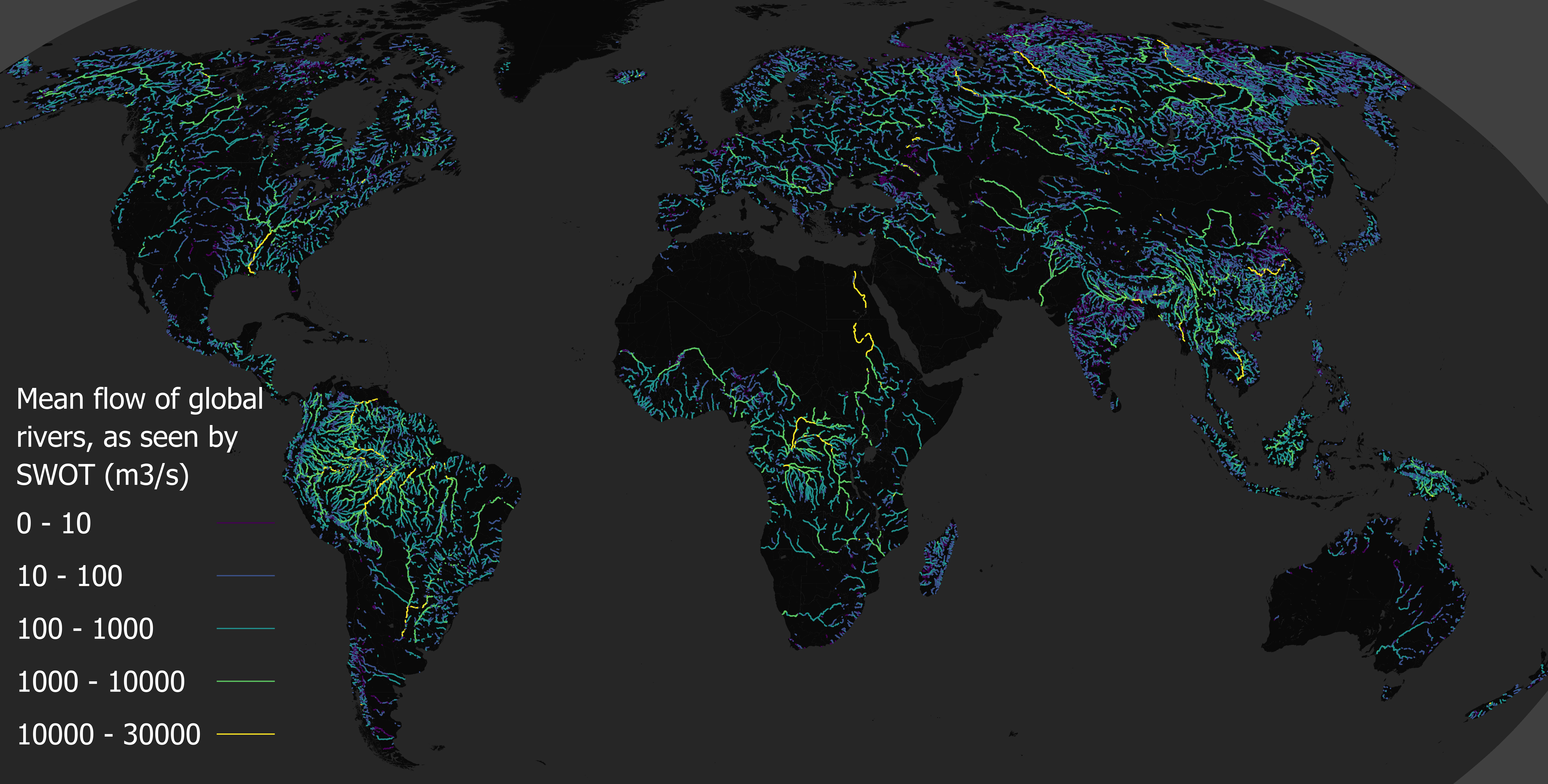
Rivers rise and fall throughout the year, but by how much? Perhaps less than previously thought, according to new data from the SWOT mission. Hidden riverbed contours are also emerging. In a first, a space mission led by NASA and France has tracked Earth’s rivers swelling and shrinking from month to month over the course […]
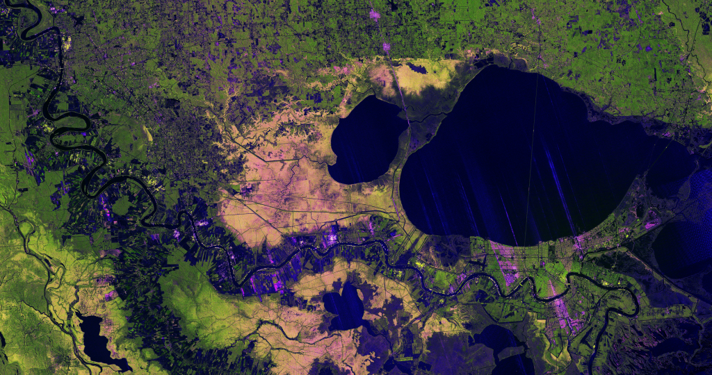
A new image from the NISAR mission shows off the satellite’s ability to reveal details of Earth’s surfaces. The science team also released new sample data. A U.S.-Indian Earth satellite’s ability to see through clouds, revealing insights and characteristics of our planet’s surface, is on display in a colorful, newly released image showing the Mississippi River Delta region in southeastern Louisiana. Created with data collected by the NISAR (NASA-ISRO […]
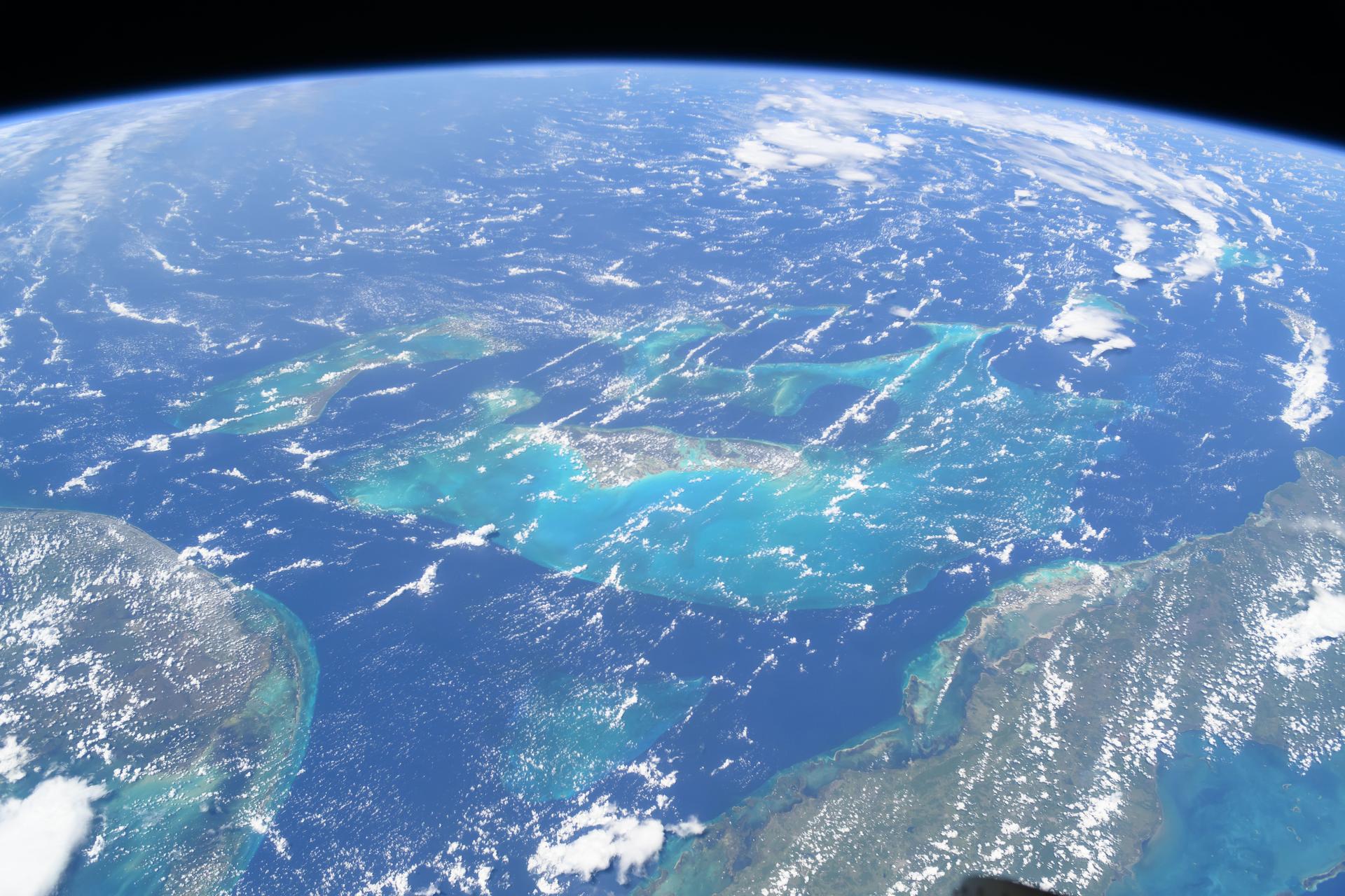
A mild La Niña caused greater rainfall over the Amazon basin, which offset rising sea levels due to record warming of Earth’s oceans. The rise in the global mean sea level slowed in 2025 relative to the year before, an effect largely due to the La Niña conditions that persisted over most of the year. […]
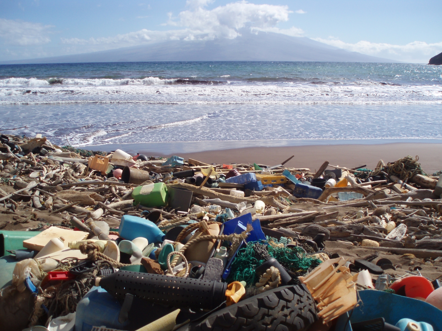
Space-based technology could help track plastic and other flotsam by its ‘fingerprints.’ In late 2025, scientists reported that, for the first time, they were able to detect concentrations of plastic pollution on land using NASA’s Earth Surface Mineral Dust Source Investigation (EMIT) sensor aboard the International Space Station. The technology has inspired marine researchers to […]

An Intertwined History: The Earth Observer and EOS The Earth Observer, a newsletter issued for nearly 37 years, will release its last online content at the close of 2025. This newsletter evolved in parallel with NASA’s Earth Observing System (EOS). It is almost impossible to speak of this newsletter without mentioning EOS. As The Earth Observer prepares […]
Introduction Launched into the night sky more than 26 years ago, on Dec. 19, 1999, from Vandenberg Air Force Base (now Space Force Base), Terra was NASA’s first Earth Observing System (EOS) flagship mission to study Earth’s land surface from space via a coordinated series of polar-orbiting and low-inclination satellites that produce long-term global observations […]