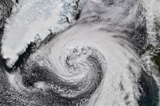
From orbit, today’s space-based laser instruments measure Earth’s forests and terrain one narrow line at a time. Between those lines are enormous gaps that include millions of acres of land scientists never directly measure. NASA’s CASALS instrument will blend machine learning with an ultra-compact lidar instrument to adaptively ‘sweep’ large swaths of Earth’s surface. This […]

A bright lens of anorthosite, a rock type prevalent on the lunar surface, is cradled within sheared rocks in the country’s south.
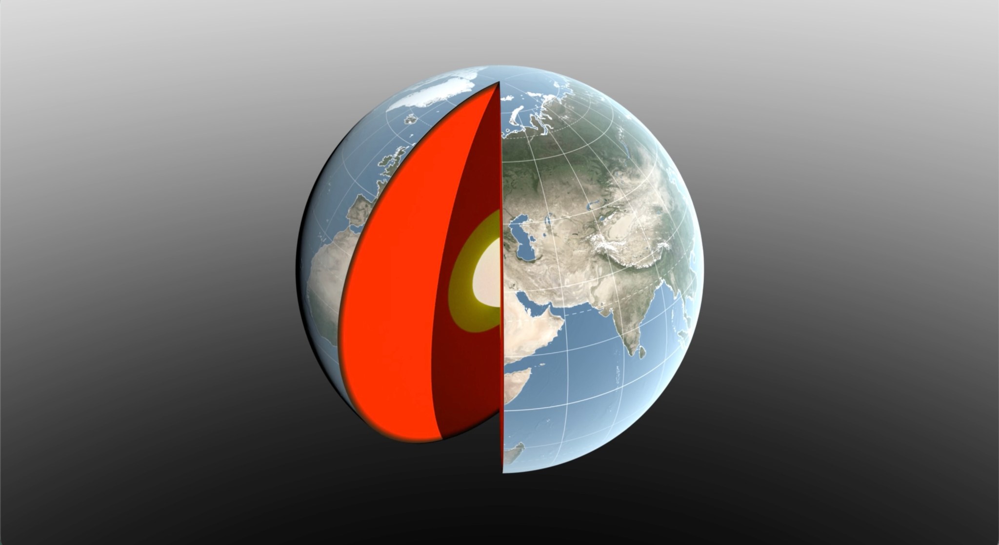
Seasonal changes redistribute enough water around Earth to shift the planet’s center of mass back and forth by fractions of an inch relative to its geometric center. NASA scientists are on the case, tracking the oscillations because Earth’s center of mass is a crucial reference point for satellite navigation and elevation measurements. A team, led […]

Ireland is best known for its many greens, but the striking grays of the island’s Burren region also stand out in satellite images.