
Last November, NASA and its European partners launched the Sentinel-6B satellite to improve hurricane forecasts, help protect infrastructure, and benefit commercial industries, including shipping. The satellite now is flying 30 seconds behind its predecessor, Sentinel-6 Michael Freilich. Both satellites are providing precise sea level height measurements during what oceanographers expect to be a historic El […]

A series of heat waves in 2026 is breaking records and taking a toll in Europe.

The strongest of several twisters to touch down in the southern part of the state in early May 2026 left a visible path of damaged vegetation.
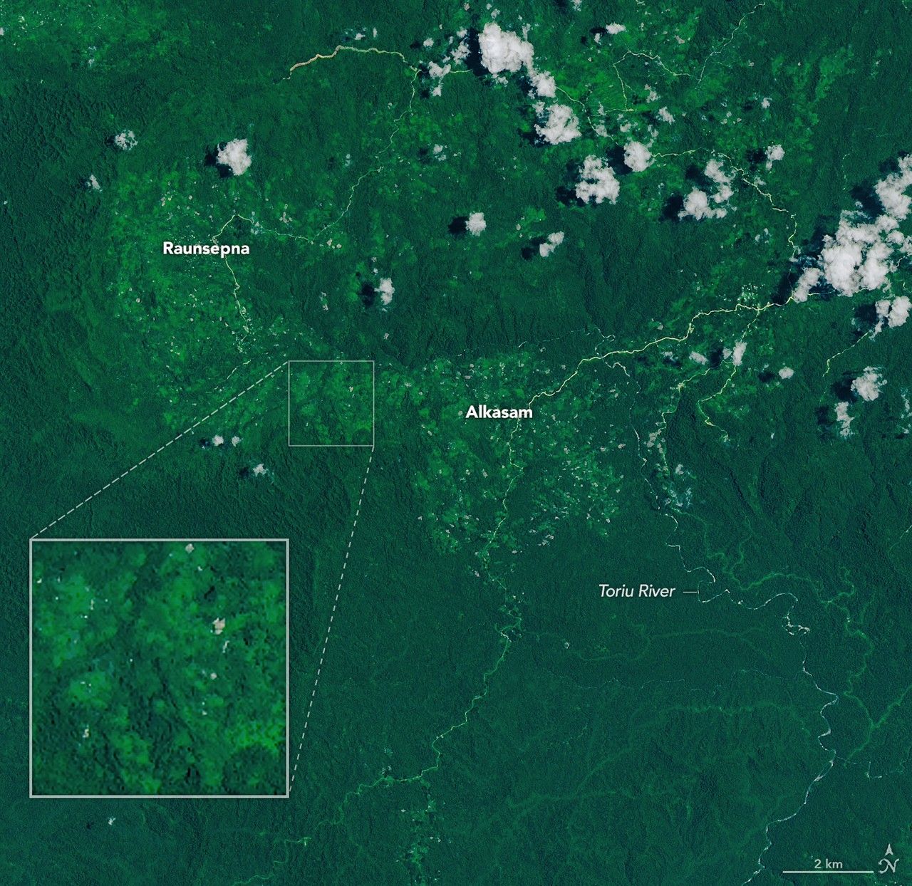
Heavy rains from Tropical Cyclone Maila triggered a deadly landslide in the mountains of East New Britain.
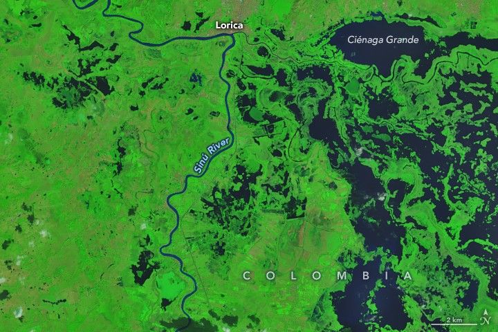
Villages and farmland were swamped after unusually heavy early-February rains pushed the Sinú River over its banks.

Widespread flooding affected tens of thousands of people after cyclones Fytia and Gezani drenched the island.

January brought blistering extremes Down Under as record temperatures scorched the nation’s southeast.

The country’s northern regions are accustomed to snow, but unrelenting storms have snarled transportation and caused other challenges this winter.

In late January 2026, a strong, moisture-laden storm dropped snow across nearly the entire state, spanning from the Appalachians to the Atlantic Coast.
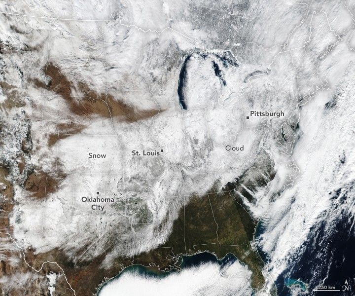
Satellites observed a frozen landscape across much of the country after a massive winter storm.